
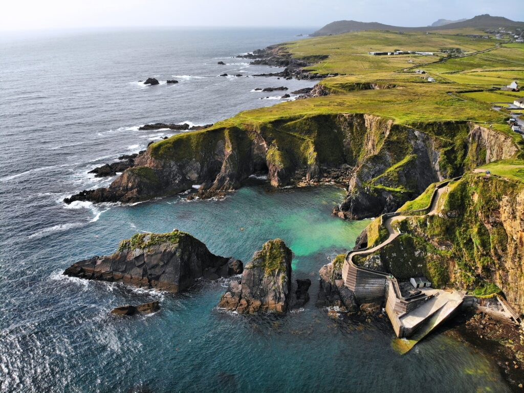
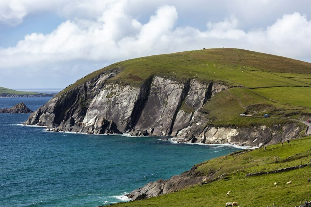
The Dingle Peninsula delivers everything the Ring of Kerry promises—Atlantic cliffs, mountain passes, ancient stone forts, and seaside villages—with a fraction of the tour buses. The 30-mile Slea Head Drive loops west from Dingle town through Irish-speaking villages, past beehive huts that predate Christianity, and along some of the most photographed coastline in Ireland.
You can drive the entire loop in three hours, but you’ll want a full day to stop, walk, and linger at the viewpoints that make this peninsula worth the detour from the larger Kerry circuit.
Driving the Slea Head Loop
The Slea Head Drive (also called the Dingle Way when you’re walking it) begins and ends in Dingle town, heading west on the R559. The road is narrow, winding, and best driven clockwise so you’re on the inside lane for the steepest coastal sections.
Leave Dingle early—by 9 a.m. if possible—to beat the day-trippers from Killarney and Tralee. The first stretch takes you through Ventry, a small village with a wide, sandy beach that’s worth a quick stop if the tide is out. From Ventry, the road climbs into the hills and the views open up: the Blasket Islands to the west, Mount Eagle rising behind you, and the Atlantic stretching unbroken to North America.
Stop at Slea Head itself, the westernmost point of the loop. There’s a small parking area and a short walk to the viewpoint overlooking the Blaskets. On clear days, you can see Great Blasket Island and the smaller islands beyond. This is also where several Star Wars scenes were filmed, though the landscape needs no Hollywood credentials.
Dunbeg Fort and the Beehive Huts
Just past Slea Head, you’ll reach Dunbeg Fort, a stone promontory fort perched on a cliff edge. The fort dates to the Iron Age, and while much of it has eroded into the sea, the remaining walls and defensive ditches give a sense of how these coastal settlements were built for protection as much as proximity to fishing grounds. Admission is around $5, and the short walk around the site takes fifteen minutes.
A mile farther, you’ll find several clusters of beehive huts (clochán in Irish) scattered across private farmland. Farmers charge $3 to $5 to walk among the huts, and while it feels transactional, these dry-stone structures—built without mortar and still standing after more than a thousand years—are worth the stop. The huts were used by monks and farmers, and their corbelled roofs remain watertight.
Don’t skip the small interpretive signs at each site; they explain the building techniques and the peninsula’s history as a Gaelic-speaking stronghold long after English became dominant elsewhere in Ireland.
Dunquin, Ballyferriter, and the North Coast
The village of Dunquin sits at the base of a steep hill overlooking the Blasket Islands. The Blasket Centre here tells the story of the island community that was evacuated in 1953, and it’s one of the best small museums in Kerry. The café serves good soup and brown bread, and the floor-to-ceiling windows frame the islands perfectly. The center is open daily from April through October; admission is $6.
From Dunquin, the road turns north through Ballyferriter, the peninsula’s westernmost village and a hub of Irish-language culture. Stop at Tigh Bhric, a small pub on the main street, for a pint and a chance to hear Irish spoken as a living language, not a tourist attraction.
The return leg along the north coast is faster and flatter, passing through Murreagh and Ballydavid before rejoining the main road into Dingle. If you have time, detour north to Wine Strand or Fermoyle Beach—both are empty even in summer, with wide sands backed by dunes and mountains.
Practical Tips for Driving the Peninsula
Rent a car in Killarney, Tralee, or Dingle itself; there’s no practical way to see the peninsula by bus. The loop is well-signposted, but download an offline map—mobile reception is patchy on the western stretches.
Bring cash for admission fees, parking, and the beehive hut sites; many don’t accept cards. Pack layers and rain gear; the weather on the peninsula can shift from sun to squall in minutes, and the coastal wind is relentless even in summer.
Fuel up in Dingle before you start the loop; there are no petrol stations once you leave town. If you’re staying overnight, base yourself in Dingle and drive the loop as a day trip, or spend a night in one of the farmhouse B&Bs near Dunquin or Ballyferriter for a quieter, more immersive experience.
The best months to drive Slea Head are May, June, and September, when the light is long, the crowds are manageable, and the fuchsia hedges are in full bloom. July and August bring tour buses and higher prices, though the weather is only marginally more reliable.
Want more detailed guides to Ireland’s scenic drives, hidden villages, and coastal routes? Subscribe to The Ultimate Ireland Travel Guide newsletter and get one short story a day—practical, specific, and written for travelers who want to go deeper.