
The Causeway Coastal Route traces Northern Ireland’s Antrim Coast for 120 miles between Belfast and Derry, threading past basalt cliffs, medieval castle ruins, working fishing villages, and one of the world’s most striking geological wonders. It’s less traveled than the Wild Atlantic Way but every bit as dramatic—and easier to drive in three days or less.
Most visitors anchor themselves in one town and day-trip, but the route rewards a slow drive with overnight stops. You’ll want time for distillery tours, cliff walks, and the kind of harbor-side fish and chips that taste better with salt spray in the air.
The Route: Belfast to Derry via the Antrim Coast
The Causeway Coastal Route officially follows the A2 coastal road, but it’s not a loop—it’s a one-way journey. You can start from either end, but most travelers begin in Belfast and drive north and west toward Derry, keeping the ocean on their right and the glens of Antrim on their left.
From Belfast, the coast opens up around Carrickfergus, where a Norman castle guards the harbor. The road gets quieter past Larne, winding through the nine Glens of Antrim—deep, green valleys that run from the plateau down to the sea. Stop in Cushendall or Cushendun for coffee and a walk; both villages are compact and photogenic, with whitewashed cottages and old stone bridges.
Beyond Ballycastle, the landscape shifts. The cliffs grow taller, the wind picks up, and the road begins its approach to the Giant’s Causeway and the string of attractions that draw the crowds: Carrick-a-Rede Rope Bridge, the Old Bushmills Distillery, and Dunluce Castle. This is the most visited stretch, and for good reason—but it’s worth continuing west past Portrush to the quieter sections around Downhill and Mussenden Temple before reaching Derry.
Where to Stop Along the Way
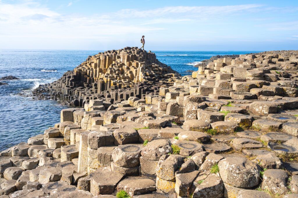
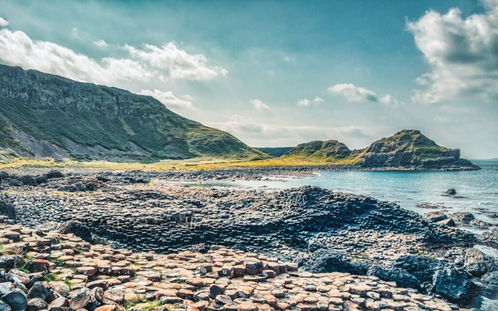
The Giant’s Causeway is the headline act—40,000 interlocking basalt columns formed by volcanic activity 60 million years ago. Arrive early or late to avoid tour buses. The official visitor center charges around $16 for parking and access, but you can park in Bushmills and walk the clifftop path for free.
Carrick-a-Rede Rope Bridge, a few miles east, sways 100 feet above the ocean between the mainland and a tiny island. It’s thrilling if you’re steady on your feet, but tickets sell out in summer—book ahead through Viator or the National Trust site. If the bridge is full, the coastal walk around it is just as scenic.
Old Bushmills Distillery, operational since 1608, offers tours that end with a tasting. It’s located in the village of Bushmills, a five-minute drive from the Causeway. Tours run daily and cost about $18.
Dunluce Castle, perched on a cliff edge between Portrush and Bushmills, is a dramatic ruin—part of the kitchen collapsed into the sea centuries ago. It’s been featured in everything from tourism posters to fantasy television. Entry is around $7.
Further west, Mussenden Temple sits on a clifftop near Downhill. It’s a small, circular 18th-century library built right on the edge—one of the most photographed buildings in Northern Ireland. It’s managed by the National Trust and free to walk around outside; interior access is occasional.
Practical Tips for Driving the Route
Rent a car in Belfast and return it in Derry, or drive the route as a long day trip and return to Belfast—it’s about three hours one-way without stops, much longer with them. The A2 is well-maintained and signposted, but it’s narrow in places with sharp bends and limited pull-offs. Drive slowly, and don’t try to photograph from behind the wheel.
Most travelers split the route over two or three days. Ballycastle makes a good overnight base for the eastern stretch; Portrush or Portstewart work well for the central and western sections. Derry itself is worth a night or two—its 17th-century city walls are the best-preserved in Ireland.
Summer brings the best weather and longest daylight, but also the most traffic and higher accommodation prices. May, September, and early October offer a good balance—fewer crowds, decent weather, and autumn light that’s spectacular along the cliffs.
Fill up on fuel before leaving Belfast or in larger towns like Larne, Ballycastle, or Portrush. Stations are sparse along rural sections. Pack layers and waterproofs—the coast is exposed, and weather changes fast.
Where to Eat and Drink
Seafood is the move. In Ballycastle, try Morton’s Fish & Chips on Ann Street—traditional and busy with locals. The Harbour Bar in Portrush does excellent chowder and Guinness oysters. In Portstewart, Harry’s Shack is a beach-side spot known for fresh catches and Irish-grown produce.
For whiskey beyond Bushmills, stop at The Dark Hedges Hedges Hotel near Armoy or one of the new tasting rooms opening along the route. Pubs in most towns offer live traditional music on weekends, especially in summer.
Want more Ireland travel stories like this? Subscribe to The Ultimate Ireland Travel Guide newsletter and get one short, useful story every day—no fluff, just the Ireland worth finding.
Heads up — some links in this article are affiliate links. If you sign up through them, we may earn a small commission at no extra cost to you. We only recommend tools we use ourselves.