
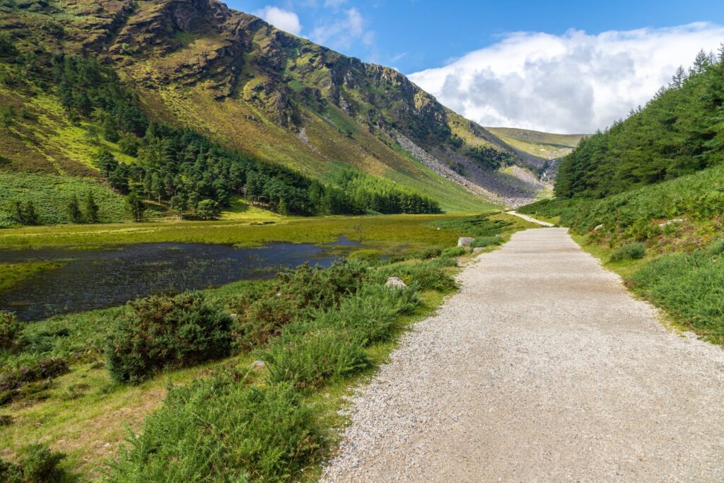
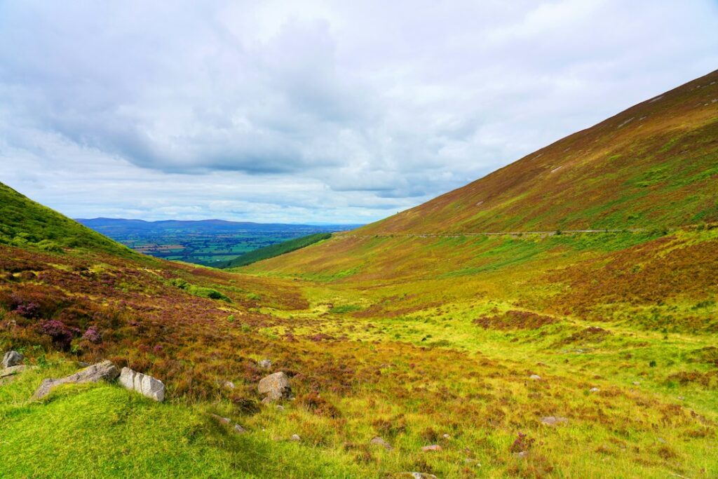
The Wicklow Way is Ireland’s first long-distance walking trail, established in 1980. It stretches 81 miles from Marlay Park in south Dublin to the village of Clonegal in County Carlow, traversing some of the most dramatic upland terrain within an hour of the capital. You’ll walk through conifer forests, open moorland, glacial valleys, and past mountain lakes, with sections that range from gentle woodland paths to exposed ridgelines.
Most hikers tackle it in sections rather than as a multi-day thru-hike, and the trail is well-suited to both approaches. Here’s what you need to know.
The Route and Key Sections
The Wicklow Way begins at Marlay Park in Rathfarnham, just south of Dublin, and climbs steadily into the Dublin and Wicklow Mountains. Early sections pass through Kilmashogue Wood and over Prince William’s Seat before descending into Glencullen.
The trail’s most iconic stretch runs from Knockree to Glenmalure, via Djouce Mountain, the Powerscourt Waterfall turnoff, and the high moorland around Lough Tay (also called the Guinness Lake for its dark water and white sandy shore). This section offers wide views over the Wicklow plateau and passes close to the ruins of the old Barracks near Glenmacnass.
South of Glenmalure, the route crosses some of its most remote terrain — the flanks of Lugnaquilla, Ireland’s third-highest peak — before descending through forestry and farmland toward Tinahely and Clonegal. The southern sections are quieter, gentler, and less traveled.
Each stage is roughly 10 to 15 miles, and the full trail typically takes six to eight days. But you don’t need to walk it end-to-end. Day hikers often tackle the Knockree-to-Roundwood section or the Glenmalure valley loop, both of which offer classic Wicklow scenery without the commitment of a long trek.
When to Walk and What to Expect
The Wicklow Way is walkable year-round, but conditions vary sharply by season. Late spring through early autumn (May to September) offers the longest daylight and the driest weather, though even summer can bring sudden rain and mist on exposed ridges. Autumn colors in the oak and birch woods are spectacular in October, but prepare for shorter days and wetter trails.
Winter walking is possible but requires experience. Snow and ice can appear on higher ground from November through March, and some sections become boggy and difficult to navigate in heavy rain. Always check the forecast and carry waterproofs, extra layers, a map, and a charged phone.
The trail is waymarked with yellow walking-man symbols on posts and stones, but markings can be faint or missing in places, especially across open moorland. Carry a detailed map or download the route on a hiking app. Mobile signal is patchy or absent on much of the high ground.
Where to Start and How to Get There
Marlay Park, the official northern trailhead, is accessible by Dublin Bus (routes 16 and 17) from the city center. If you’re starting farther south, the villages of Enniskerry, Roundwood, Glendalure, and Glenmalure all sit on or near the trail and are reachable by car. Public transport to trailheads south of Roundwood is limited, so most hikers either arrange shuttles, use taxis, or walk out-and-back sections.
For multi-day hikes, several hostels and guesthouses along the route cater to walkers, including the An Óige hostel at Glendalure (near Glenmalure) and accommodations in Roundwood, Glendalough, and Tinahely. Book ahead in summer, as spaces fill quickly.
If you’re organizing a multi-day trek and prefer not to carry a full pack, some local operators offer baggage transfer services between stops, allowing you to walk with just a daypack.
Insider Tips for Hiking the Wicklow Way
Start early, especially on summer weekends when trailheads near Glendalough and Lough Tay can get crowded. The northern sections see the most foot traffic; south of Glenmalure, you may walk for hours without seeing another hiker.
Bring cash. Many of the smaller villages along the route have limited ATMs, and some guesthouses and pubs don’t accept cards.
Pack more water and snacks than you think you’ll need. There are long stretches — particularly across the high moorland — with no facilities, no streams safe to drink from, and no shelter.
If you’re walking in spring or early summer, expect midges and ticks in wooded and grassy areas. Long sleeves, insect repellent, and a tick check after each day’s hike are worthwhile precautions.
The Wicklow Way connects with shorter loop walks and spur trails, including routes around Glendalough, the Spinc and Glenealo Valley, and the climb to Lugnaquilla’s summit. If you have extra time, these detours are worth it.
Want more Ireland trail guides, hiking tips, and insider routes delivered to your inbox? Subscribe to The Ultimate Ireland Travel Guide newsletter — one short story a day, straight from the hills and headlands.